The airport data in the flightsbr package is downloaded from Brazil’s Civil Aviation Agency (ANAC). The data covers all airports and aerodromes registered in ANAC. It brings detailed information on….[mention a few key variables].
- Data dictionary:
Before downloading the data, let’s first load the libraries we’ll use in this vignette:
Now, downloading data of all airports in Brazil is as simple as this:
# private airports
airports_prv <- flightsbr::read_airports(
  type = 'private',
  showProgress = FALSE
  )

# public airports
airports_pbl <- flightsbr::read_airports(
  type = 'public',
  showProgress = FALSE
  )
You will notice that the data sets on private and public airports
have different columns. This can make row binding these data.frames a
bit tricky. For now, the function read_airports() can
return a data.frame with both types of airports and only a few columns
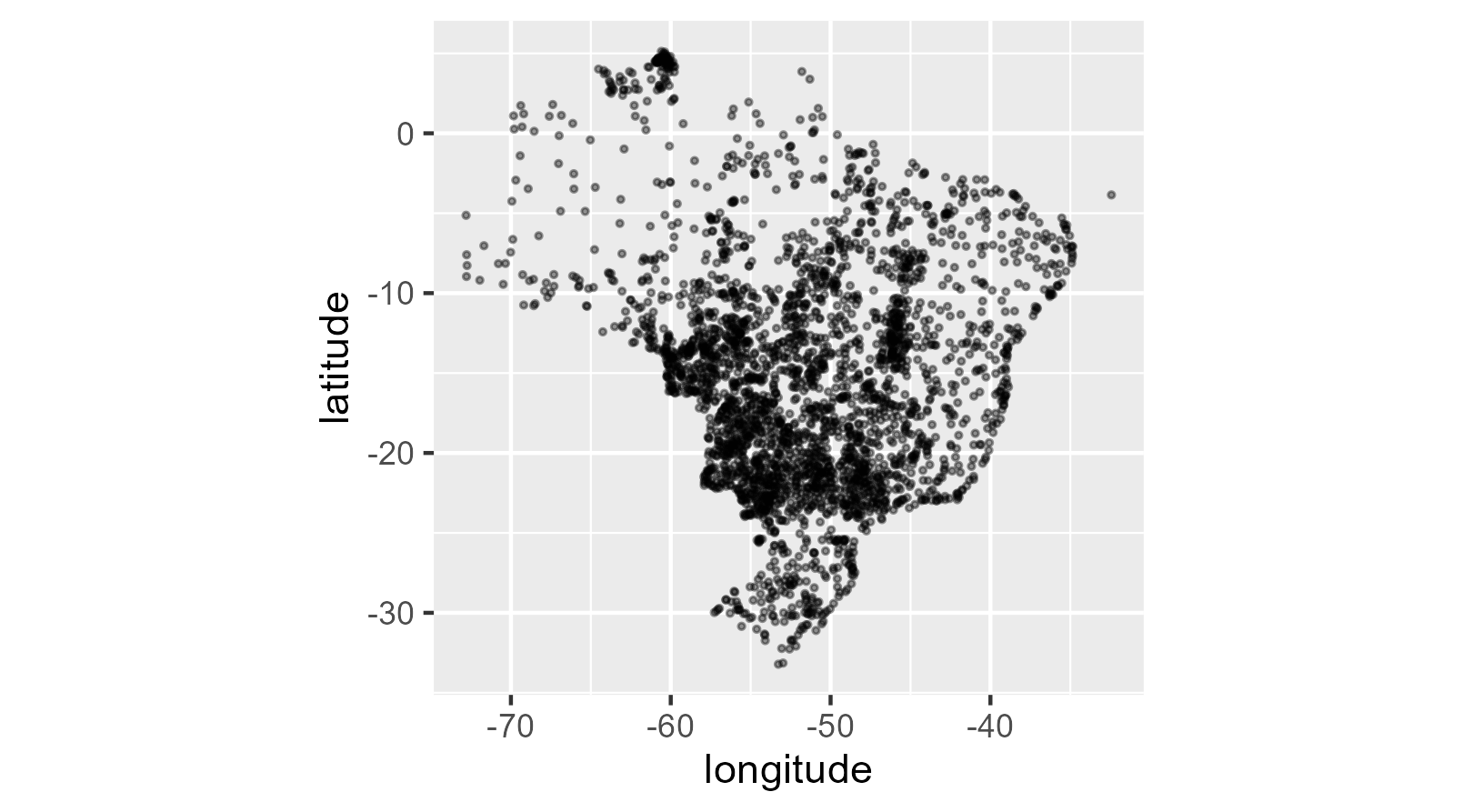
if the user set type = "all". The geographical coordinates
are provided in EPSG Projection 4326 - WGS 84.
airports_all <- flightsbr::read_airports(
  type = 'all',
  showProgress = FALSE
  )

# plot
# brazil <- geobr::read_country()

ggplot() +
   # geom_sf(data=brazil, color='gray') +
  geom_point(data=airports_all, aes(x=longitude, y=latitude), size=.3 , alpha=.4) +
  coord_equal()